
The fourth in our series on this year’s group projects by Sci Com students are a selection of maps designed by Kevin Edge, Pen Hill and Gilead Amit to communicate their interpretations of various aspects of science:
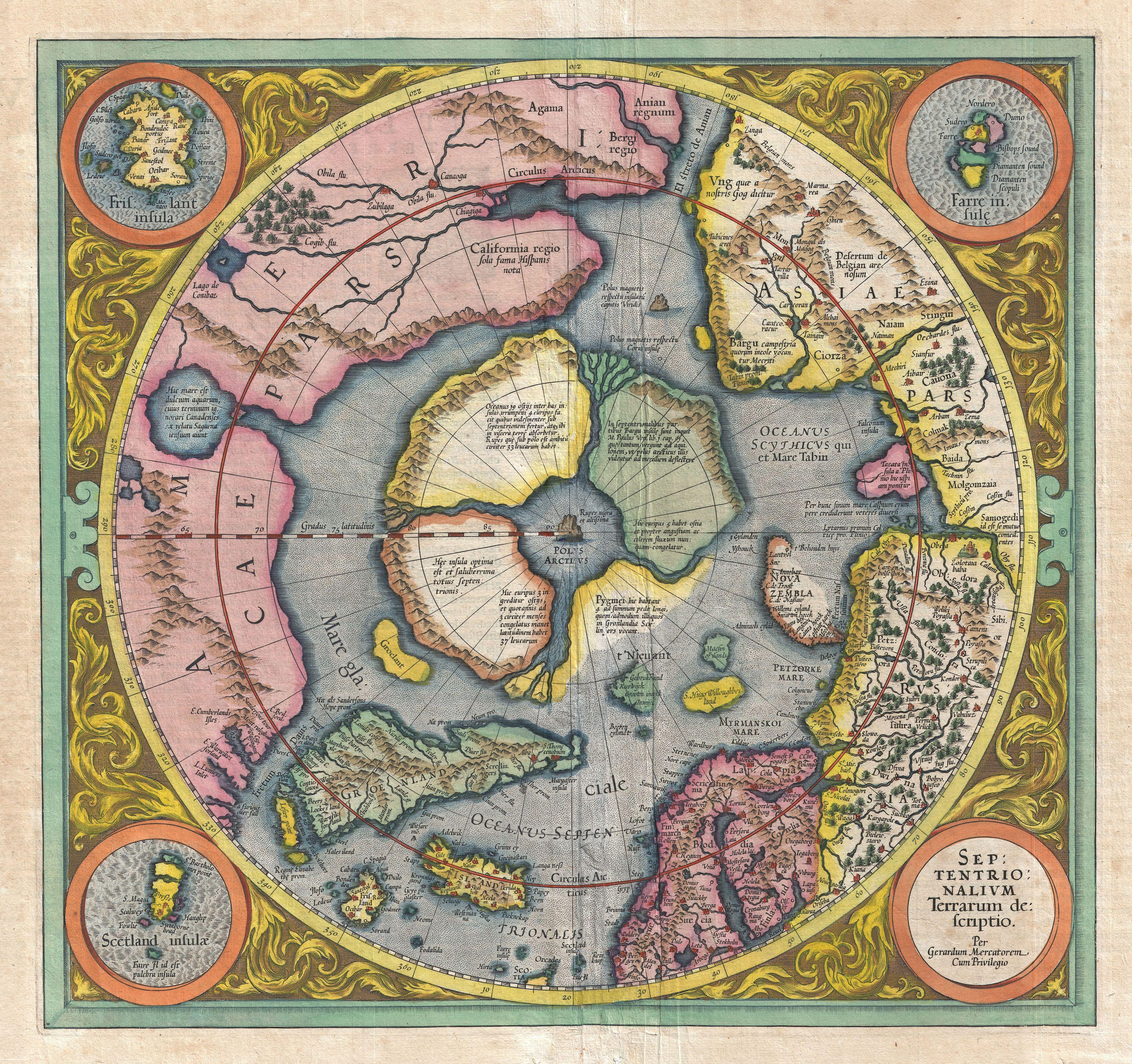
These three maps are the result of a project to represent knowledge from three contrasting eras of Western intellectual history: The Middle Ages, The Enlightenment and modern times. Each has been refashioned from a map of the age, using cartographical metaphors to draw parallels between exploration, discovery and naming in mapmaking with activities in the scientific realm. From cartography come such topographical notions as centre and periphery, uncharted land, borders, currents, divides, landmarks and hazards. In our maps, these features have been used metaphorically to plot and interpret the practices, discoveries, social contexts and philosophies of science.


Original image: http://www.noderunner.net/~llin/gis/blue_marble_fuller.jpg
The scientific process is often compared to the drawing of a map of Nature. Scientists, like cartographers, seek to push beyond the limitations of inherited knowledge, hoping to explore and understand more fully what previous generations were only able to label from a distance Even today, scientists and cartographers continue to rely on increasingly detailed measurements and new observations providing us all with a more accurate representation of the world in which we live.
Kevin Edge, Pen Hill and Gilead Amit are currently studying for an MSc in Science Communication at Imperial College
